Trusted Writing on History, Travel, and American Culture Since 1949
SEARCH 75 YEARS OF ESSAYS!
September 2025
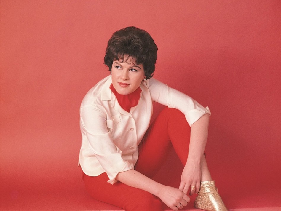
On August 21, 1961, Patsy Cline hobbled into producer Owen Bradley’s Nashville studio to record a new song written by an up-and-coming songwriter named Willie Nelson. Just two months earlier, Cline had been thrown through a windshield in a horrific car crash. She was left with a dislocated hip, broken bones, and a deep gash across her forehead. After over a month in the hospital, she was still sore, often short of breath, and walking with crutches. Cline’s gift for song was undeniable, but it was her grit—matched by few in country music—that carried her forward. Both were on full display in the studio.
Editor's Note: A number of years ago, American Heritage published reproductions of some of the most important early maps of North America. An accompanying booklet provided interesting information, but the text never appeared in the magazine. We have digitized it, updated the text, and added it here.
Ever since man scratched lines in the dust to describe the lay of the land around him, he has been fascinated by the problems of how to draw an accurate picture of his world. Very early — if not in primitive times, at least in antiquity — the map maker learned all the elements of scientific cartography. What he lacked for a long time were the proper tools to map large areas: the telescope, to determine latitude, and the pendulum clock, for longitude. In the meantime, his picture of the world fitted in between heaven above and hell below.
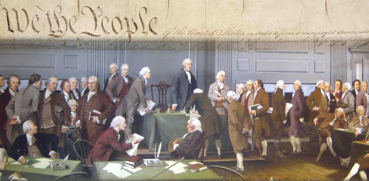
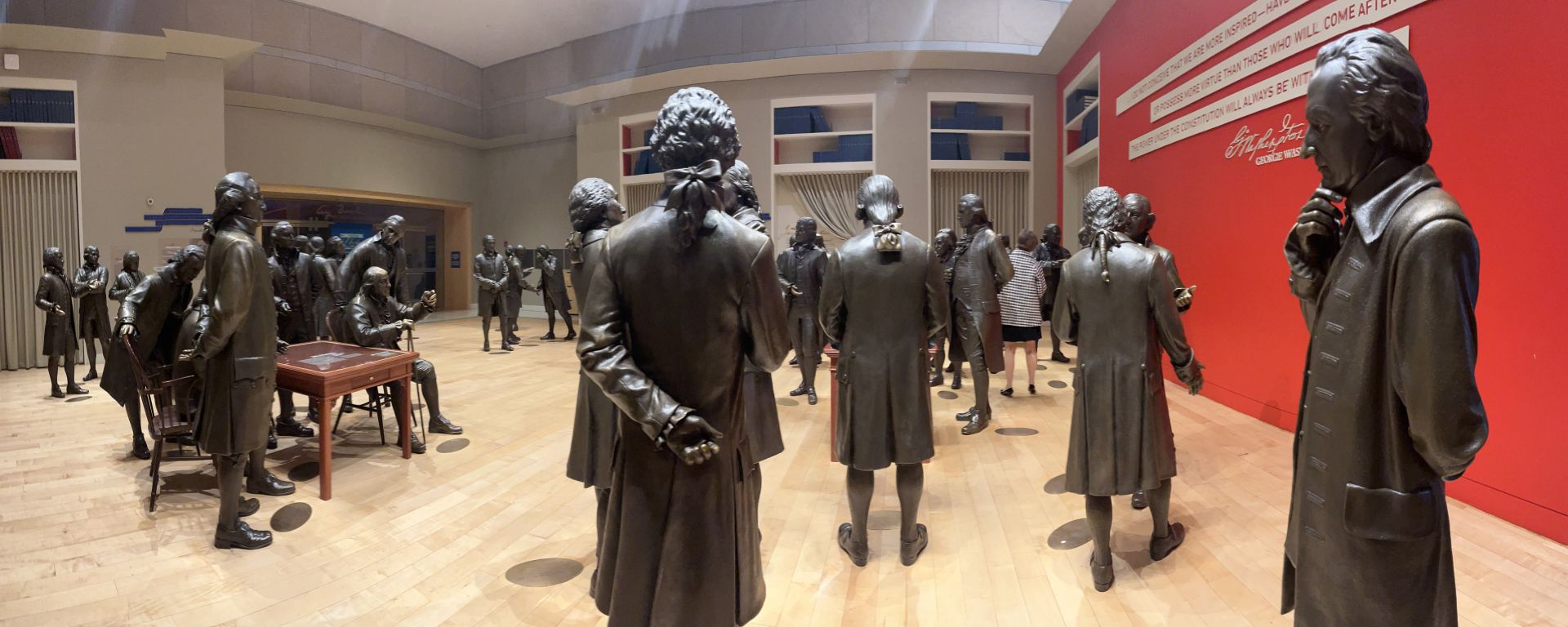
Editor's Note: One of the preeminent historians of our time, William Leuchtenburg published his first essay in American Heritage in 1957. We were saddened to hear of his passing earlier this year, but also delighted he published a last book of essays entitled, Patriot Presidents: From George Washington to John Quincy Adams. We thank Oxford University Press for allowing us to adapt one of the essays.
Editor’s Note: excerpted from The Noise of Typewriters: Remembering Journalism, by Lance Morrow
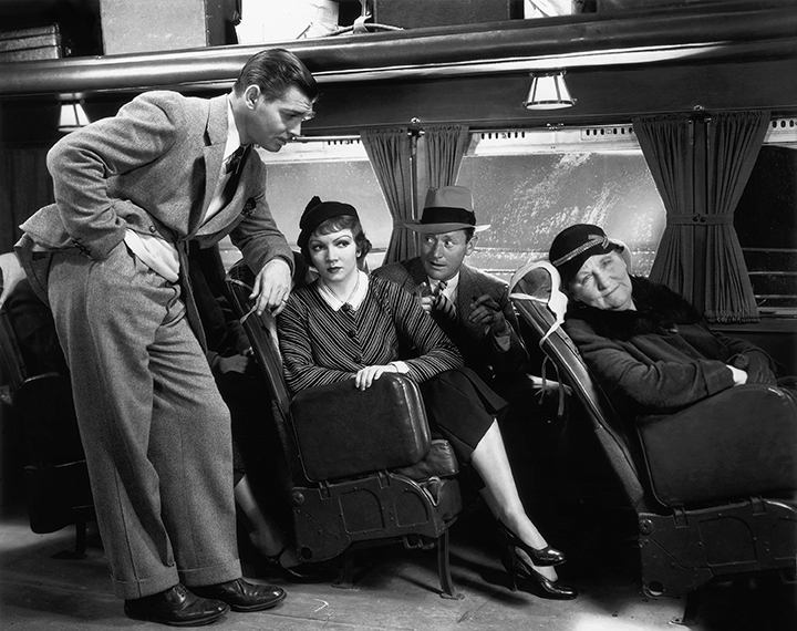
I have an afterimage of Clark Gable at the bus station in a trench coat, with his crooked smile, his shabby integrity. That, of course, is from It Happened One Night (1934). Frank Capra in his movies in the 1930s created morality plays about American journalism, turning newspaper reporters into Everyman, their consciences an ongoing test of the country’s notion of its emotional reflexes and decencies.