
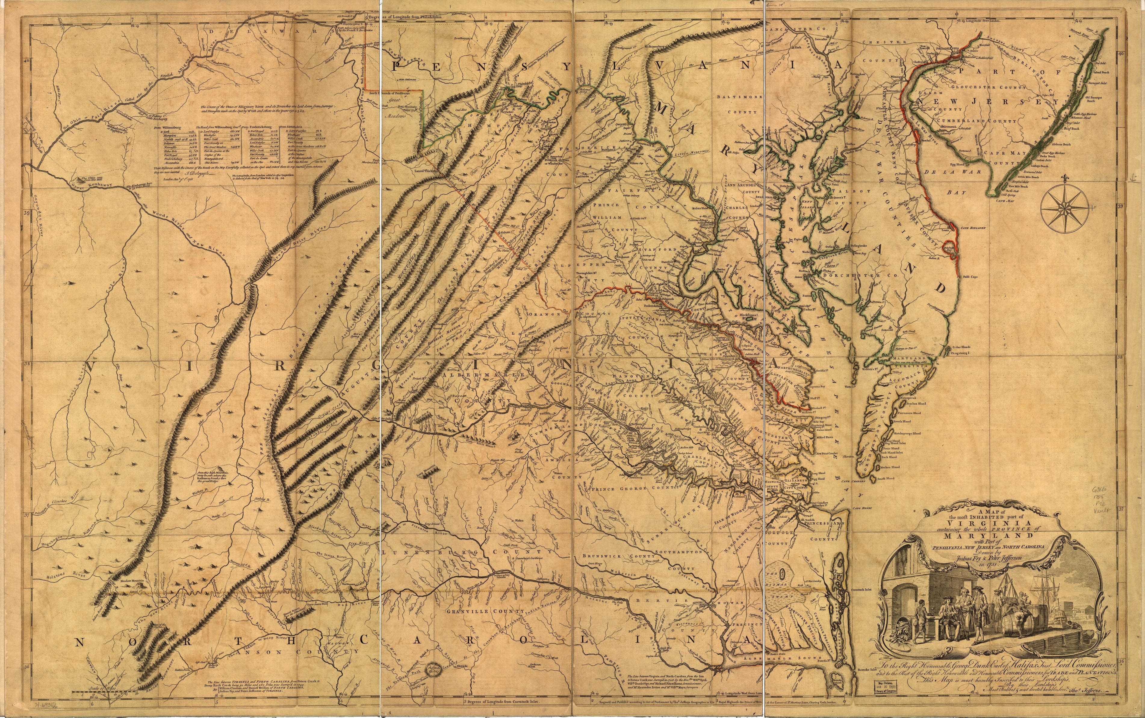
The American Heritage researchers were stunned when the Duke said, “There, that’s the 1751 map of Virginia.” Expert historians of cartography, they instantly realized it was one of only three copies in existence of the famous map of Viriginia surveyed and drawn by Roger Fry and Peter Jefferson, the father of Thomas Jefferson. The Library of Congress has a later edition of "A map of the most inhabited part of Virginia containing the whole province of Maryland with part of Pensilvania, New Jersey and North Carolina" (above).